![]()
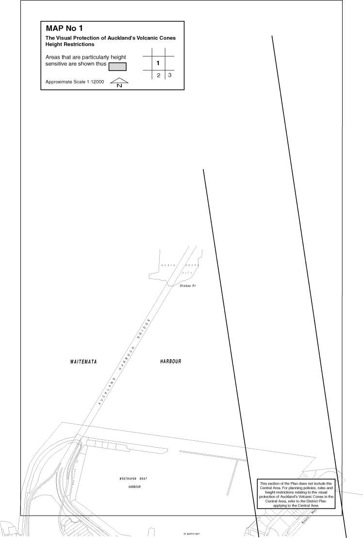
Height Restriction Map 1
The purpose of this map is to give users of the Plan easier access to relevant height restriction information.
These maps are the detail for Appendix C, View Protection Controls in the Appendices to Maps.
Note that this image is fairly large (30k-190k) to show enough detail to help you get the correct information.
| Click
for adjacent maps
|
Height Restriction Map - (70k) (Click here for instructions if you're unsure how to use Acrobat pdf files) |
||